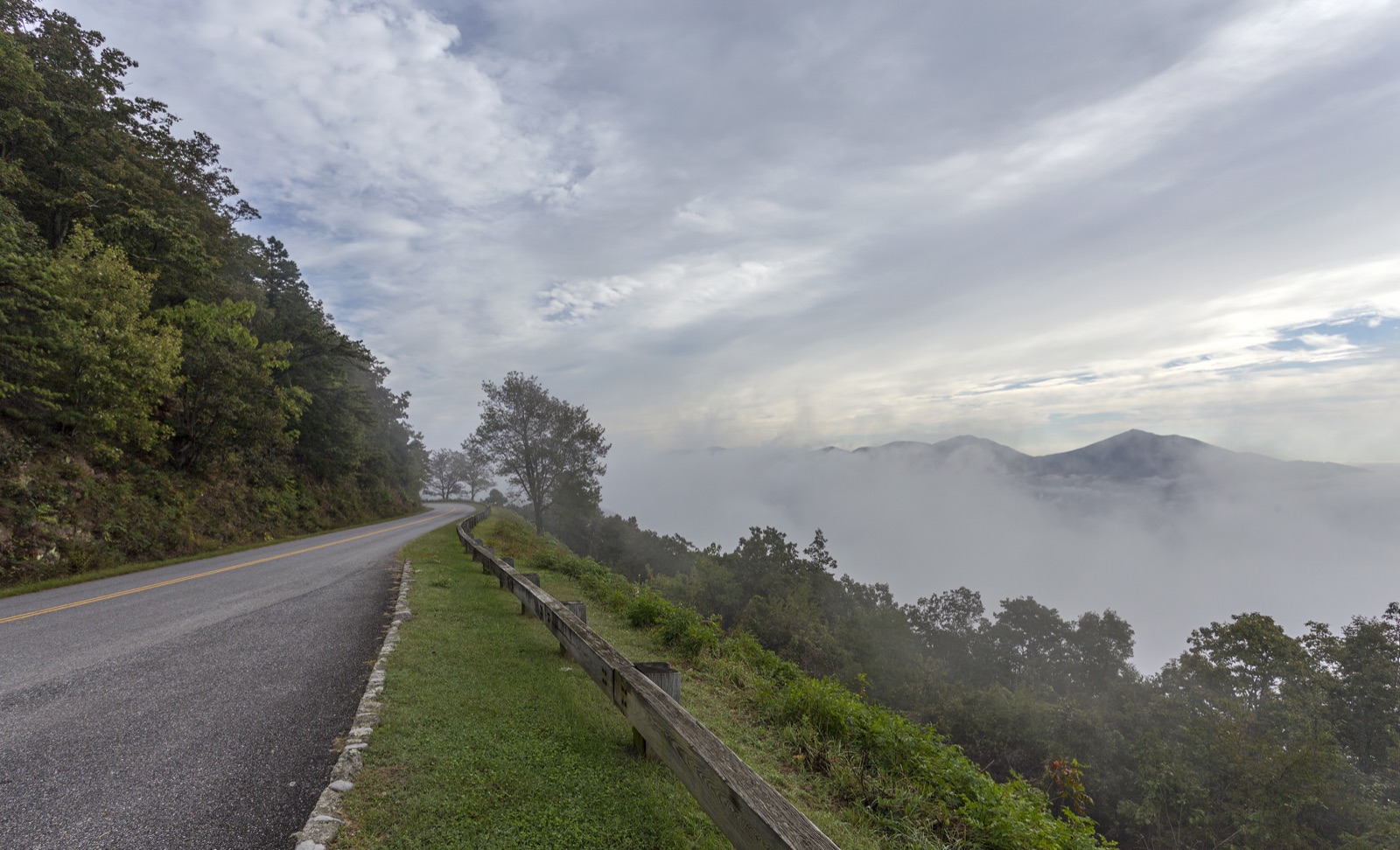
Photo: Acroterion / Wikimedia Commons (CC BY-SA 4.0)
The Great Southern Road Trip: Six Drives That Show You the Real South
There are things about the South you cannot learn standing still.
You have to drive them. You have to put the windows down and let a whole afternoon go to the road, watch the country change from mountain to marsh to delta through the windshield, stop when something catches your eye and get back in when you are ready. The South is a place of distances, and some of its best stretches are the roads themselves, laid out by people who understood that the journey could be the destination if the route was beautiful enough.
We are partial to the slow road here. The interstate will get you there, and there are days you need it to. But the interstate is designed to make the country disappear, to turn a thousand miles into a blur of the same three gas stations, and the South does not give up its real self at seventy miles an hour. It gives it up at forty, at a roadside stand, at an overlook you pulled into on a whim. What follows are six drives that reward that kind of attention. Not the fastest way anywhere. The best way.
The Blue Ridge Parkway
The grandest of them all, and the one to drive first if you only ever drive one. The Blue Ridge Parkway runs 469 miles along the spine of the southern Appalachians, connecting Shenandoah National Park in Virginia to the Great Smoky Mountains in North Carolina, and it was built to be slow. There are no billboards, no trucks, no stoplights, just a two-lane ribbon of road riding the ridgelines, overlook after overlook opening onto blue mountains folding away into haze.
That haze is the whole point, and it is worth knowing what you are looking at. The blue that gives the mountains their name is the trees breathing, a fine mist the forest gives off that softens every ridge behind the one in front of it until the far mountains are barely more than a suggestion. In summer the high country stays cool while the valleys swelter, and the difference of a few thousand feet can be a jacket in July. In October the color comes up the slopes like a slow tide and people drive for hours just to sit in it, bumper to bumper and not minding, because there is nowhere they would rather be stuck. Build in more time than you think you need. You will stop more than you plan to. You do not take the Parkway to get somewhere. You take it because the somewhere is the whole way.
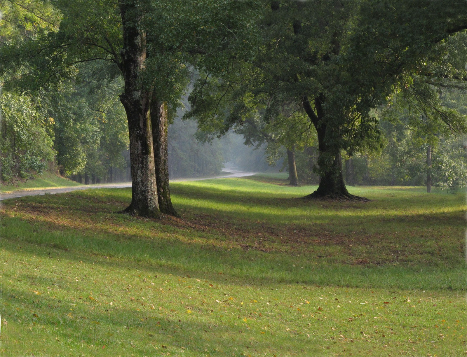
The Natchez Trace Parkway
Quieter and older in feeling, the Natchez Trace Parkway runs 444 miles from Nashville down to Natchez, Mississippi, tracing a path that Native peoples, traders, and settlers walked for centuries before there was a road. The Park Service keeps it the way the Blue Ridge is kept: no commercial traffic, no billboards, a gentle fifty-mile-an-hour drift through a green tunnel of trees, past Indian mounds and old inns and quiet waterfalls a short walk off the road.
It is the kind of drive that lowers your blood pressure by the mile. Where the Blue Ridge asks you to look up and out at the far ranges, the Trace closes in around you, the canopy meeting overhead so that the light comes down green and dappled and the road ahead curves gently out of sight. There is history pressed into the ground here that you can feel even when you cannot see it, whole stretches where the old walking path wore itself down into the earth and still runs beside the modern road like a scar that healed into something beautiful. And if you are a Blessed South reader, you will recognize one of the stops along the way, the village of Leiper’s Fork, sitting near the northern end like a reward for slowing down. Pull off there, walk the antique stores, and you will understand why we keep coming back to this part of Tennessee.
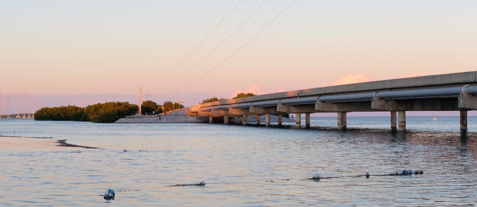
The Overseas Highway
For something completely different, point the car south until you run out of country. The Overseas Highway carries U.S. Route 1 about 113 miles from the Florida mainland out across the Florida Keys to Key West, and for much of it you are not driving over land at all. You are driving over water, island to island, the Gulf on one side and the Atlantic on the other, crossing a string of bridges that includes the famous Seven Mile Bridge, the old span running alongside the new like a ghost of the road it used to be.
The light out there is its own thing, wide and silver and coming at you from every direction at once, bouncing up off the water and down off the sky until the whole world feels lit from inside. There is a moment on the long bridges when the land drops away behind you and has not yet appeared ahead, and you feel like you have driven off the edge of the map and out into the blue. It is a drive that changes your sense of scale. You start it thinking of the Keys as the end of Florida and finish it understanding they are their own country, strung out across the shallows, held together by the road you just crossed.
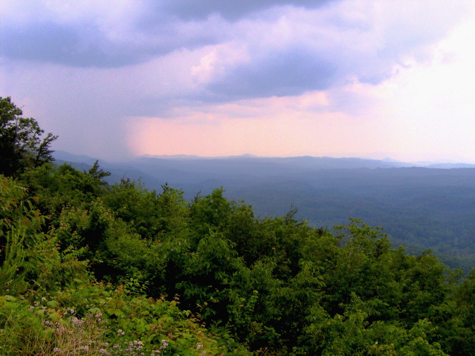
The Cherohala Skyway
A road for people who like their mountains high and their curves earned. The Cherohala Skyway runs about 43 miles across the mountains between Tellico Plains, Tennessee, and Robbinsville, North Carolina, climbing to over five thousand feet and crossing some of the most remote high country in the Southern Appalachians. It is a younger road than the others, finished in the 1990s after decades of building, and a less crowded one, which is a good part of the appeal.
You climb and climb, the temperature dropping a degree with every few hundred feet, your ears popping, the hardwoods giving way to spruce and fir the higher you go. The overlooks open onto wave after wave of mountains, ridge behind ridge behind ridge, and at the top you are above almost everything, in country that feels a long way from the world you left at the bottom. There is very little up there but the road and the view and the wind, and that emptiness is exactly what you came for. Drive it on a weekday if you can. You may have whole stretches of the high country to yourself.
The Cherokee Foothills Scenic Highway
In upstate South Carolina, Highway 11 runs along the foot of the Blue Ridge escarpment, the place where the mountains give up their height and drop down to meet the piedmont. This is the Cherokee Foothills Scenic Highway, and it is a gentler drive than the high mountain roads, rolling past orchards and lakes and old country churches with the mountains rising blue on your northern side the whole way.
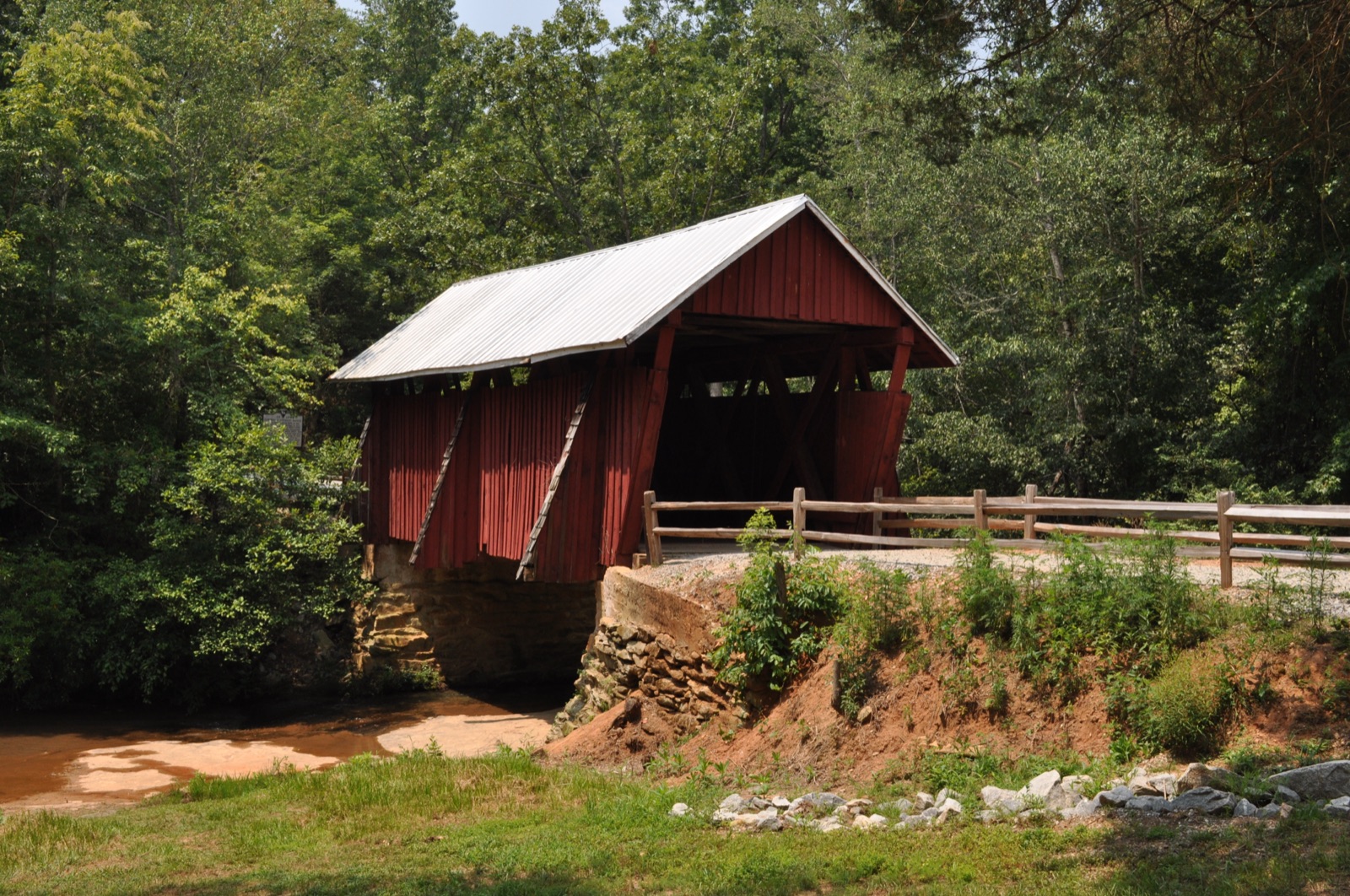
What makes it worth the trip is the timing. The highway runs straight through South Carolina peach country, and South Carolina grows more peaches than any state but California, whatever the license plates to the south may claim. Come in summer and the stands are out, tables of fruit under a tin roof with the hills that grew it standing right there behind them, and you can pull over and eat a peach so ripe it runs down your arm and drips off your elbow before you are halfway through it. There are covered bridges tucked off the road, and lakes that hold the mountains upside down on a still morning, and the whole drive has the feeling of a place that never got in a hurry. It is the South at its most unbothered, and on the right afternoon there is nowhere better.
The Gulf Coast
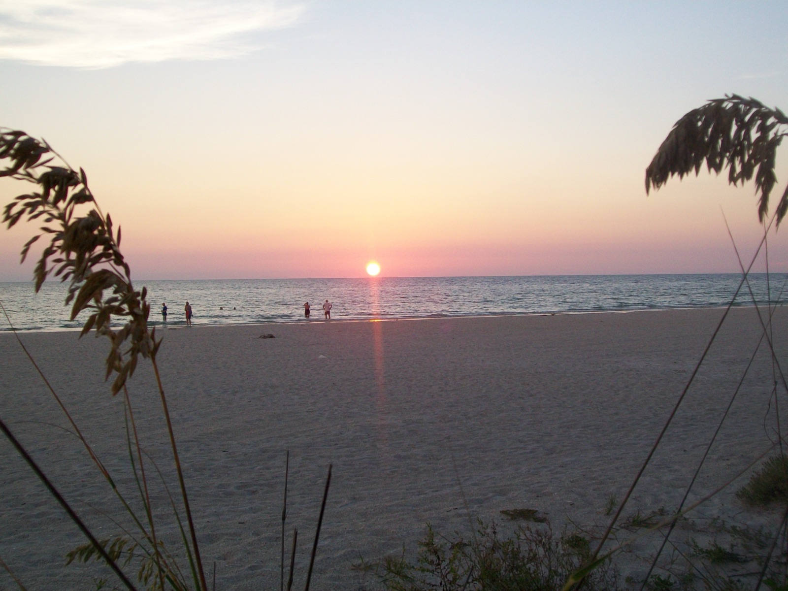
Finally, a coastal drive for the slow days of summer. Follow the Gulf along the Florida Panhandle and the Mississippi and Alabama shore and you get a different South entirely, one of white sand and sea oats and weathered piers, of seafood shacks and sunsets that stop traffic. The water is warm and green, the pace is unhurried, and the towns string along the coast like beads, each with its own character and its own reason to stop.
This is the drive with the least plan and the most reward for having none. You pull over for boiled shrimp because you caught the smell of it through the window and could not drive past. You wander out onto a pier because it was there and the light was good. You stop in a town you never meant to stop in and stay for supper. And every evening the whole coast turns its attention west, the way it has done every evening for as long as there has been anyone to watch, and you pull off wherever you happen to be to see the sun go down into the Gulf because the sky told you to. There is no better argument for keeping your schedule loose.
Here is what all six of these roads have in common, and it is the reason they are worth the gas and the time.
They were built, or kept, by people who believed the way you travel matters as much as where you end up. In a country that mostly paved itself for speed, these are roads that chose beauty instead, that wind when they could have run straight, that slow you down on purpose so you will actually see the place you are passing through. Somebody fought to keep the billboards off the Parkway. Somebody decided the Trace should stay the way it was walked. These roads are an argument, in asphalt, for taking the long way, and every mile of them is a small act of preservation.
The South rewards the long way. Drive it fast on the interstate and it is gas stations and exit signs like anywhere else. Drive it slow on one of these roads, windows down, in no particular hurry, and it opens up and shows you what it actually is. Pick one. Clear a weekend. Let the road be the point.
The South, shared.
Keep Reading
Places
The Lighthouses of the South, Part Three: The Screw-Pile Lights of the SoundsThe last leg of our lighthouse journey, into the quiet sounds where a stranger light once stood: a little house on iron screws over the water.
Places
The Southern Town We Can't Stop Thinking About: Oxford, MississippiThe students come back, the Square fills up, and Faulkner's ghost keeps a quiet house at the edge of town. This is Oxford, Mississippi.
Places
Abingdon, Virginia: The Town That Traded Ham for HamletIn the far corner of Virginia sits a handsome mountain town whose famous theater once let farmers pay for a play with produce. It is still going.